


Renewable energy resources are pivotal for creating a sustainable future. As the world shifts away from fossil fuels, understanding the geographical potential for solar, wind, and hydroelectric power becomes essential. Mapping these resources accurately allows us to harness their full potential and make informed decisions about energy infrastructure. Renewable energy geography is guiding the way toward a future powered by sunshine, wind, and moving water.
GIS technology helps map these renewable energy resources accurately. Policymakers use these maps to plan renewable energy projects. Efficient planning ensures maximum energy production. It also minimizes environmental impact. Communities benefit from local renewable energy sources. They gain energy independence and economic opportunities. Investing in renewable energy also combats climate change. Clean energy reduces greenhouse gas emissions significantly. Governments and organizations should prioritize renewable energy mapping. This will help achieve a sustainable and resilient energy future.
What is Renewable Energy?
Renewable energy harnesses natural resources like sunlight, wind, and water to generate power, offering a sustainable alternative to fossil fuels. Unlike finite resources, renewable sources replenish naturally, reducing greenhouse gas emissions and mitigating climate change. Technologies like solar panels, wind turbines, and hydroelectric dams convert these resources into electricity, providing cleaner, more sustainable energy solutions. By investing in renewable energy, we can achieve energy independence, stimulate economic growth, and protect the environment for future generations.
Solar Energy Potential
The potential for solar energy varies greatly depending on location. The equator provides more constant and intense sunlight, which makes these areas ideal for the production of solar energy. Large-scale solar farms are especially well suited to desert environments because of their wide open expanses and low cloud cover. The Sahara Desert, for example, has enormous solar energy potential—enough to power the entire planet several times over.
Advanced Geographic Information System (GIS) technology plays a crucial role in mapping solar energy potential. GIS considers factors like sunlight intensity, cloud cover, and land availability. This technology helps identify the most suitable areas for solar panel installation, maximizing energy production and efficiency.
Wind Energy Potential
Plains and coastal regions have the most potential for wind energy because of their often stronger and more steady winds. These areas are perfect for wind farms since they frequently have less turbulence. For instance, offshore regions in Europe and the United States Great Plains have developed into important hubs for the generation of wind energy.
Mapping potential for wind energy requires the use of GIS technology just as much. To choose the best places for wind turbines, it examines data on wind speed, topography, and other environmental aspects. Precise cartography guarantees that wind farms are positioned where they can produce the greatest amount of electricity with the least amount of negative environmental effects.
Hydroelectric Power Potential
Mountainous regions and large rivers provide the best opportunities for hydroelectric power. The flow and elevation changes in these areas allow dams and turbines to convert water movement into electricity efficiently. Countries like Norway and Canada, with their abundant water resources and topographical features, are leaders in hydroelectric power production.
River flow rates, seasonal fluctuations, and environmental effects are all taken into consideration while mapping hydroelectric potential. The development of hydropower facilities is guided by precise maps made possible by GIS technology, which guarantees the plants’ efficiency and environmental responsibility.
The Role of GIS in Renewable Energy Mapping
GIS technology is essential for mapping renewable energy sources. Comprehensive maps that showcase the potential for hydroelectric, solar, and wind power are produced by GIS through the integration of multiple data sources. These maps take into account variables including wind speed, water flow, geography, and land usage in addition to solar intensity.
These maps are used by energy planners and policymakers to help them decide where to invest in renewable energy infrastructure. Efficient cartography guarantees that energy initiatives are both financially feasible and ecologically sustainable.
Major Renewable Energy Geography Projects in India
| Project Name | Location | Type | Capacity (MW) | Description | |
|---|---|---|---|---|---|
| 1 | Bhadla Solar Park | Rajasthan | Solar | 2,245 | One of the world's largest solar parks, spread across 14,000 acres. |
| 2 | Pavagada Solar Park | Karnataka | Solar | 2,050 | Also known as Shakti Sthala, spans 13,000 acres in Pavagada. |
| 3 | Kurnool Ultra Mega Solar Park | Andhra Pradesh | Solar | 1,000 | Spreads over 5,932.32 acres in the Kurnool district. |
| 4 | Rewa Ultra Mega Solar Park | Madhya Pradesh | Solar | 750 | Comprises three solar generating units of 250 MW each, covering 1,590 hectares. |
| 5 | Muppandal Wind Farm | Tamil Nadu | Wind | 1,500 | One of the largest wind farms in India, located in Kanyakumari district. |
| 6 | Jaisalmer Wind Park | Rajasthan | Wind | 1,064 | One of the largest wind farms in India, spread across various sites in Jaisalmer district. |
| 7 | Sardar Sarovar Dam | Gujarat | Hydroelectric | 1,450 | Large-scale hydroelectric project on the Narmada River. |
| 8 | Tehri Dam | Uttarakhand | Hydroelectric | 1,000 | One of the highest dams in India, located on the Bhagirathi River. |
| 9 | Koyna Hydroelectric Project | Maharashtra | Hydroelectric | 1,960 | Located on the Koyna River, one of the largest completed hydroelectric projects in India. |
| 10 | Charanka Solar Park | Gujarat | Solar | 600 | Part of the Gujarat Solar Park, it spans 2,000 hectares in the Patan district. |
| 11 | Dhule Wind Farm | Maharashtra | Wind | 259 | Located in Dhule district, known for substantial wind energy production. |
| 12 | Bhakra Nangal Dam | Himachal Pradesh/Punjab | Hydroelectric | 1,325 | One of the earliest multipurpose river valley projects, on the Sutlej River. |
| 13 | Kamuthi Solar Power Project | Tamil Nadu | Solar | 648 | One of the world's largest single-location solar projects, spread over 2,500 acres. |
| 14 | Vindhyachal Thermal Power Station (Solar Addition) | Madhya Pradesh | Solar | 50 | Hybrid plant with added solar power generation capacity. |
| 15 | Solar Rooftop Initiative | Various cities | Solar | 40+ (various) | Government initiative to promote solar panel installation on rooftops across urban areas. |
Benefits of Renewable Energy Mapping
There are several advantages to the precise mapping of renewable energy. Determining the best sites for renewable energy projects contributes to maximizing energy production. Consequently, there is less need for fossil fuels, which lowers greenhouse gas emissions. Local renewable energy sources improve communities’ economic potential and level of energy independence.
Furthermore, investing in renewable energy infrastructure creates jobs and stimulates economic growth. It also strengthens energy security by diversifying the energy supply and reducing vulnerability to price fluctuations in fossil fuels.
Challenges and Opportunities
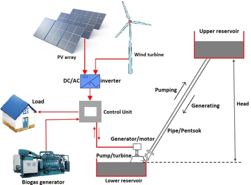
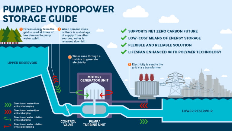
Energy storage remains a key challenge for renewable sources. Geographic factors influence the feasibility of different storage solutions.
Grid infrastructure must evolve to accommodate distributed renewable generation. Smart grids will play a crucial role in managing variable renewable energy sources.
Climate change may alter renewable energy potential in some areas. Rising temperatures could affect wind patterns and water availability for hydropower.
Conclusion
Mapping renewable energy is a vital first step towards sustainable energy. We may maximize energy output and reduce environmental effects by making informed judgments based on our awareness of the geographic potential for solar, wind, and hydroelectric power. In this process, GIS technology is essential because it offers the comprehensive data and analysis required to direct investments in renewable energy. Putting a higher priority on mapping renewable energy will enable us to create a more robust, sustainable, and clean energy future.
Read Also
- Sustainable Technology: Paving the Way for a Greener Future
- Flexible Batteries: The Future of Power
- Environmental Education: Cultivating Stewards of the Earth
- Sikkim Wins Best State Award for Environment Education
- Understanding Flight Turbulence
- How maglev trains work
- B.Tech in Mechanical Engineering

Frequently Asked Questions (FAQs)
Renewable energy geography studies the distribution and potential of renewable energy resources like solar, wind, and hydroelectric power across different regions. It involves mapping these resources to determine the most suitable locations for energy production.
Mapping renewable energy resources helps identify the most efficient and productive sites for energy generation. This ensures maximum energy output, reduces costs, and minimizes environmental impact by selecting optimal locations for renewable energy projects.
Geographic Information System (GIS) technology integrates various data sources to create detailed maps of renewable energy potential. It considers factors like sunlight intensity, wind speeds, and water flow to pinpoint ideal locations for solar panels, wind turbines, and hydroelectric plants.
Hydroelectric power is most feasible in mountainous regions and along large rivers with significant elevation changes. These areas provide the necessary water flow and height to efficiently generate electricity using dams and turbines.
Renewable energy mapping benefits communities by identifying local energy sources, leading to increased energy independence, job creation, and economic growth. It also helps reduce reliance on fossil fuels and lowers greenhouse gas emissions.
Yes, renewable energy mapping aids in combating climate change by facilitating the development of clean energy projects. By maximizing the use of renewable resources, it reduces greenhouse gas emissions and helps transition to a more sustainable energy system.
Challenges include data accuracy, environmental considerations, and the integration of various factors like weather patterns, land use, and ecological impact. Overcoming these challenges requires advanced technology and comprehensive analysis.
Can you be more specific about the content of your article? After reading it, I still have some doubts. Hope you can help me.
Hello men
Good evening. A 14 very cool website 1 that I found on the Internet.
Check out this website. There’s a great article there. https://www.haziallat.hu/macska/viselkedes/a-macskak-titkainak-megfejtese/7812/|
There is sure to be a lot of useful and interesting information for you here.
You’ll find everything you need and more. Feel free to follow the link below.